


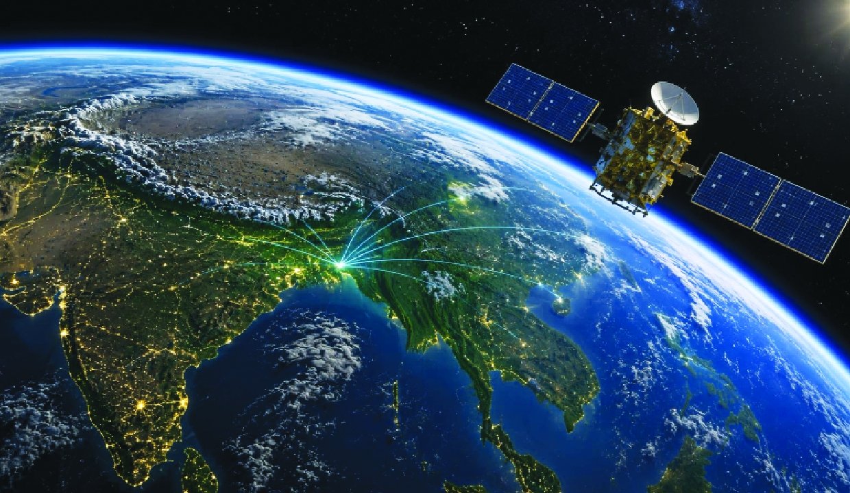
The Northeast Space-Tech Gateway initiative gained momentum as the SIA-India Space Workshop concluded in Guwahati on August 26. The workshop brought together stakeholders to discuss how space technology and satellite data can support development across Northeast India.
The discussions focused on creating a stronger regional ecosystem for accessing and using satellite-based information. Moreover, the workshop drafted a blueprint that could position the Northeast as an important hub for satellite data and space-enabled applications.
Imphal Arms Recovery: Joint Forces Seize 7 Automatic Weapons and 50 Rounds of Ammunition
Northeast Space-Tech Gateway Takes Shape in Guwahati
The SIA-India Space Workshop concluded in Guwahati on August 26 with a focus on expanding the role of space technology in Northeast India.
The workshop’s blueprint aims to create a framework for making satellite data more accessible and useful across the region. Furthermore, better access to space-based information could help governments, businesses, researchers, and communities make more informed decisions.
The Northeast Space-Tech Gateway concept therefore connects space technology with the region’s wider development priorities.
Satellite data can provide valuable information about land, forests, agriculture, water resources, weather patterns, and infrastructure. Consequently, a stronger regional space ecosystem could support several sectors at the same time.
Satellite Data Could Support Regional Development
Northeast India has diverse geography, including mountains, forests, rivers, valleys, and remote settlements. This landscape can make conventional monitoring and planning difficult.
Satellite-based observation can help authorities monitor large areas more efficiently. Additionally, regularly updated satellite information can support planning for agriculture, environmental protection, infrastructure, and disaster management.
The proposed Northeast Space-Tech Gateway could bring these capabilities closer to regional institutions and users.
For example, satellite imagery can help identify changes in land use and vegetation. Similarly, remote-sensing applications can assist with monitoring water bodies and agricultural conditions.
These applications could become particularly valuable when institutions combine satellite information with local knowledge and ground-level data.
Blueprint Focuses on Building a Space-Tech Ecosystem
The workshop’s blueprint represents an effort to move beyond simply using satellite imagery toward building a broader regional space-technology ecosystem.
Such an ecosystem could connect government departments, universities, research institutions, technology companies, startups, and other stakeholders. Moreover, collaboration among these groups can encourage the development of applications specifically designed for Northeast India.
Local expertise will remain important in this process.
The region has unique environmental and geographical conditions. Therefore, developers can create more effective solutions when they understand local requirements instead of applying generic models.
A stronger ecosystem could also encourage students and young professionals to explore careers in space technology, geospatial science, data analysis, and related fields.
Opportunities for Agriculture and Environment
Agriculture represents one area where satellite data could provide practical benefits.
Remote-sensing technology can help monitor crop conditions, vegetation, soil characteristics, and changes in agricultural land. Furthermore, satellite information can complement information collected by farmers and local authorities.
Environmental monitoring offers another major opportunity.
Northeast India contains extensive forest resources and ecologically sensitive landscapes. Satellite observations can help track changes in forest cover, land use, water systems, and other environmental indicators.
Consequently, the Northeast Space-Tech Gateway could contribute to more data-driven environmental planning.
Disaster Management Could Benefit
The Northeast frequently faces challenges associated with floods, landslides, storms, and other natural hazards.
Satellite data can support disaster preparedness by helping authorities monitor vulnerable areas and assess changes across large regions. During emergencies, satellite imagery can also provide useful information about affected locations when ground access becomes difficult.
Additionally, combining satellite data with weather information and local observations can improve decision-making.
However, technology alone cannot solve every disaster-management challenge. Authorities still need trained personnel, reliable communication networks, local response systems, and effective coordination.
The proposed gateway could nevertheless strengthen the information component of these systems.
Role of Startups and Young Innovators
The development of a regional space-tech hub could create opportunities for startups and young innovators.
Entrepreneurs can build applications using satellite imagery, geospatial information, artificial intelligence, and data analytics. Moreover, local startups can focus on problems that directly affect communities across the Northeast.
Universities can also play an important role by providing research capabilities and skilled professionals.
Collaboration between educational institutions and industry could encourage students to develop practical space-tech solutions. Therefore, the initiative could contribute not only to technology adoption but also to regional employment and innovation.
Connecting Space Technology With Local Needs
A successful Northeast Space-Tech Gateway will need to focus on practical applications rather than technology alone.
Different states and communities have different priorities. For instance, one area may need better agricultural monitoring, while another may require improved flood mapping or infrastructure planning.
The blueprint can help establish a common framework while allowing individual states and institutions to develop solutions suited to their requirements.
Furthermore, making satellite data easier to access could encourage more organizations to experiment with space-enabled applications.
Building Data Access and Skills
Access to satellite information represents only one part of the challenge.
People and institutions also need the skills required to interpret and apply that information. Consequently, training, capacity building, research programmes, and technical partnerships will remain important.
The workshop’s blueprint could encourage investment in these areas.
Better training can help government officials, researchers, students, and businesses understand how satellite information can support their work. Over time, this could create a larger pool of professionals capable of working with geospatial and space-based technologies.
Guwahati’s Emerging Role
Holding the workshop in Guwahati highlights the city’s potential role as a regional centre for technology and innovation.
Guwahati already serves as an important connectivity and economic centre for Northeast India. Therefore, expanding its role in space technology could help connect institutions and businesses across the wider region.
A successful regional hub could eventually support collaboration between multiple northeastern states rather than concentrating opportunities in a single location.
The Road Ahead
The August 26 workshop provides a starting point for developing the proposed space-tech blueprint.
The next stage will require stakeholders to translate the broad vision into practical programmes, partnerships, infrastructure, and training initiatives. Additionally, clear priorities and measurable objectives can help ensure that the initiative delivers useful outcomes.
The Northeast has considerable potential to become a major user and developer of space-enabled solutions. With sustained collaboration, satellite data could become an increasingly important resource for regional planning and development.
Conclusion
The Northeast Space-Tech Gateway gained momentum after the SIA-India Space Workshop concluded in Guwahati on August 26 and drafted a blueprint for developing the region as a hub for satellite data.
Moreover, the initiative could support agriculture, environmental monitoring, disaster management, infrastructure planning, research, and innovation. At the same time, its success will depend on data access, skilled professionals, strong partnerships, and practical applications.
Overall, the workshop represents an important step toward connecting Northeast India’s development needs with the growing possibilities of space technology.
FAQs
1. What is the Northeast Space-Tech Gateway?
The Northeast Space-Tech Gateway is a proposed regional framework aimed at strengthening access to and use of satellite data and space technology.
2. When did the SIA-India Space Workshop conclude?
The workshop concluded in Guwahati on August 26.
3. What is the main goal of the blueprint?
The blueprint aims to help make the Northeast a stronger hub for satellite data and space-enabled applications.
4. Which sectors could benefit from satellite data?
Agriculture, environmental monitoring, disaster management, infrastructure planning, research, and urban development could benefit.
5. Why is the Northeast suitable for space-tech applications?
The region’s diverse geography and development challenges create several opportunities for satellite-based monitoring, planning, and data-driven solutions.